Topographic Survey
A Topographic Survey is a detailed and accurate mapping of the surface features of a piece of land, including natural and man-made features. CLASSIC INDIA, as a Survey, Geological, and Mining Consultancy unit, offers Topographic Survey services among its multidisciplinary offerings. Here’s a closer look at what this service involves:
- Mapping of Land Surface:
- Conducting a comprehensive mapping of the land surface to represent the three-dimensional features of the terrain.
- Elevation Data Collection:
- Gathering elevation data to represent changes in the land’s height and contours.
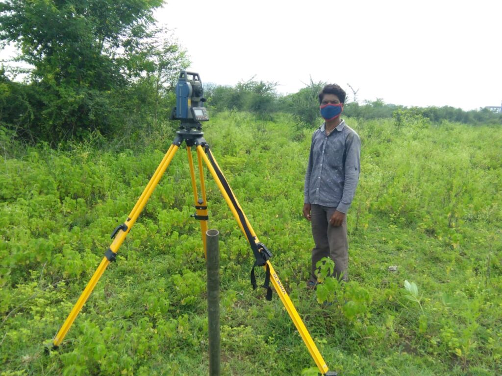
- Utilizing methods such as leveling, Total Station, DGPS, and Drone technology for precise elevation measurements.
- Natural Features Identification:
- Identifying and mapping natural features like hills, valleys, rivers, lakes, and vegetation.
- Providing a detailed understanding of the landscape.
- Man-Made Features Mapping:
- Mapping man-made structures such as buildings, roads, bridges, and other infrastructure.
- Including details on the location, height, and dimensions of these features.
- Survey for Engineering Projects:
- Providing essential data for engineering projects, including construction and infrastructure development.
- Assisting in project planning and design.
- GIS Integration:
- Integrating Topographic Survey data with Geographic Information System (GIS) technology.
- Enhancing the spatial analysis and interpretation of the surveyed features.
- Drone Technology:
- Utilizing drones for efficient and accurate data collection.
- Capturing high-resolution aerial imagery to enhance survey precision.
- DGPS for Accuracy:
- Incorporating Differential Global Positioning System (DGPS) for improved accuracy in location data.
- Ensuring precise mapping of surveyed features.
- City Planning and Development:
- Supporting urban planning and development projects with detailed topographic information.
- Aiding in the layout and design of cities and neighborhoods.
- Environmental Assessments:
Providing data for environmental impact assessments. – Assisting in understanding the ecological aspects of the surveyed area.
- Quantity Survey:
Supporting quantity surveying by providing accurate data on the volume and area of the surveyed land. – Useful for estimating materials and costs in construction projects.
Ensuring compliance with surveying standards and regulations. – Adhering to industry best practices and ethical surveying principles.
A Topographic Survey by CLASSIC INDIA serves as a foundational step in various industries, contributing valuable information for planning, development, and environmental management. The use of advanced technologies enhances the efficiency and precision of the surveying process.