DGPS Survey
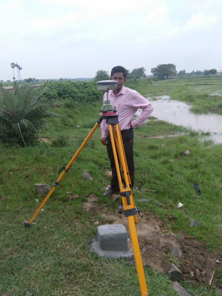
DGPS, or Differential Global Positioning System, is a surveying technique that enhances the accuracy of location data obtained from GPS. CLASSIC INDIA offers DGPS Survey as part of its surveying services. Here are key aspects of DGPS Survey provided by CLASSIC INDIA:
- High Precision Positioning:
- Utilizing DGPS technology to achieve higher accuracy in positioning compared to standard GPS.
- Correcting GPS signals in real-time to mitigate errors.
- Real-Time Correction:
- Implementing real-time correction techniques to improve the accuracy of GPS measurements.
- Minimizing errors caused by atmospheric conditions and satellite signal variations.
- Survey Planning and Execution:
- Planning and executing surveys with a focus on precise positioning.
- Applying DGPS technology to various survey types, including topographical surveys, mine surveys, and infrastructure surveys.
- Mining Applications:
- Implementing DGPS in mining operations for accurate mapping of mining sites.
- Supporting mine planning, resource estimation, and operational decision-making.
- Infrastructure Projects:
- Supporting infrastructure projects such as roads, railways, and pipelines with accurate positioning data.
- Enhancing the reliability of survey data for project planning and construction.
- Drone Survey Integration:
- Integrating DGPS technology with drone surveys to enhance the accuracy of aerial mapping.
- Providing high-precision geospatial data for diverse applications.
- City Planning and Development:
- Contributing to urban planning and development projects with precise location data.
- Supporting the layout, design, and infrastructure development of cities.
- Environmental Monitoring:
- Applying DGPS in environmental surveys for accurate monitoring and assessment.
- Supporting ecological studies and environmental impact assessments.
- Survey Accuracy Verification:
- Verifying the accuracy of survey data through DGPS technology.
- Ensuring that survey results meet the required standards and specifications.
- Data Integration with GIS:
Integrating DGPS-derived data with Geographic Information System (GIS) technology. – Enhancing the spatial analysis and visualization of survey data.
Adhering to regulations and standards related to surveying and positioning. – Ensuring that DGPS operations comply with aviation and surveying guidelines.
DGPS Survey by CLASSIC INDIA enhances the precision and reliability of location data, making it a valuable tool for a variety of surveying applications. The integration of DGPS with other surveying technologies contributes to the overall efficiency and accuracy of the surveying process.