Drone Survey Services
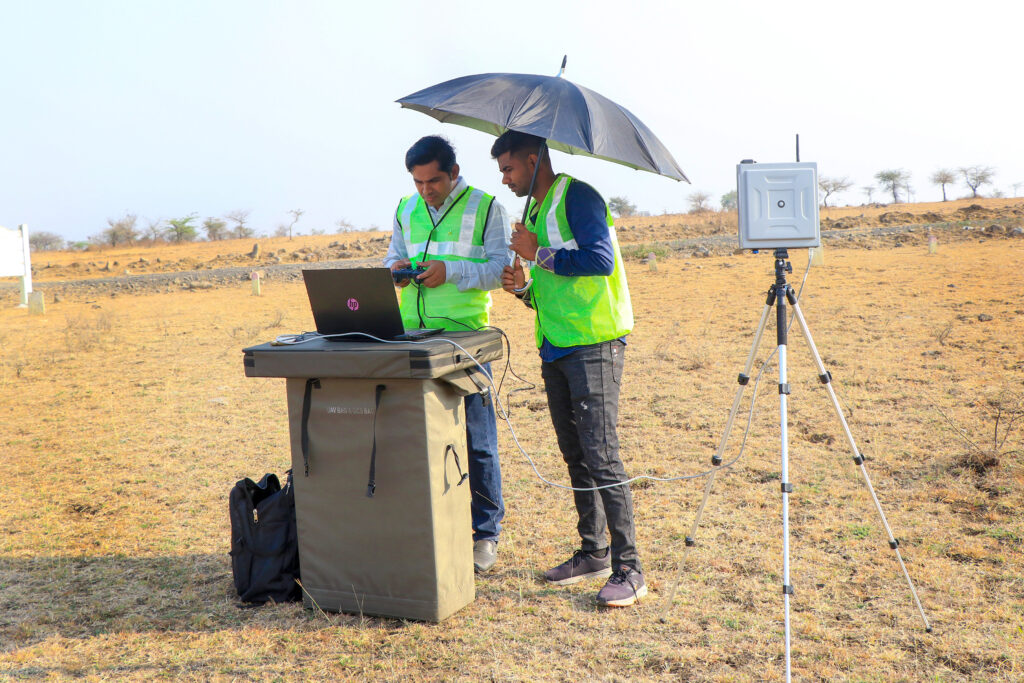
CLASSIC INDIA employs Drone Survey as one of its key surveying techniques, utilizing unmanned aerial vehicles (UAVs) or drones for various applications. Here are some aspects related to CLASSIC INDIA’s Drone Survey services:
- Aerial Data Collection:
- Utilizing drones to capture high-resolution aerial imagery and data.
- Gathering data over large and sometimes inaccessible areas efficiently.
- Topographical Survey:
- Conducting topographical surveys using drone technology.
- Creating detailed maps of the land surface, identifying contours, and capturing elevation data.
- Mine Survey:
- Specialized drone surveys for mining projects.
- Monitoring and mapping mining sites for planning and operational purposes.
- Infrastructure Surveys:
- Conducting surveys for various infrastructure projects, such as railways, roads, pipelines, and towers.
- Providing accurate and up-to-date information for project planning and development.
- City and Lay-out Survey:
- Utilizing drones for city surveys and urban planning.
- Conducting lay-out surveys efficiently for construction and development projects.
- Precision Agriculture:
- Implementing drone technology for precision agriculture.
- Monitoring crop health, assessing field conditions, and optimizing agricultural practices.
- DGPS Integration:
- Integrating Differential Global Positioning System (DGPS) technology with drone surveys.
- Enhancing the accuracy of location data for precise mapping.
- Environmental Monitoring:
- Conducting environmental surveys using drones.
- Monitoring and assessing ecological changes, vegetation health, and land use.
- Data Analysis and Mapping:
- Processing drone-captured data for analysis.
- Creating detailed maps, 3D models, and other visualizations for decision-making.
- Safety and Efficiency:
Enhancing safety by using drones for surveys in hazardous or difficult-to-reach areas. – Improving survey efficiency and reducing time and cost compared to traditional methods.
- Integration with GIS:
Integrating drone survey data with Geographic Information System (GIS) technology. – Enhancing the spatial analysis and interpretation of survey results.
By incorporating Drone Survey into its services, CLASSIC INDIA can offer clients a cutting-edge and efficient solution for a variety of surveying needs. The use of drones allows for rapid data collection, improved accuracy, and the ability to survey diverse terrains and environments.