Mine Survey
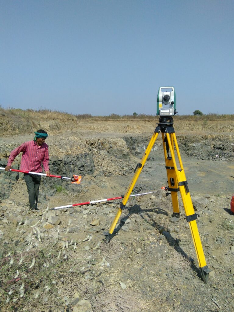
A mine survey is a crucial aspect of mining operations that involves the measurement, mapping, and analysis of a mine site. The primary goal of mine surveying is to ensure the efficient and safe extraction of minerals while adhering to regulatory and environmental standards. Here are some key aspects of mine surveying:
- Mapping and Measurement:
- Mine surveyors use various tools and techniques to measure and map the surface and underground features of a mining area. This includes the use of GPS (Global Positioning System), total stations, laser scanners, and other surveying instruments.
- Volume Calculations:
- Mine surveyors calculate the volume of materials extracted from or deposited in the mine. Accurate volume calculations are essential for resource estimation, production planning, and environmental management.
- Legal and Regulatory Compliance:
- Mine surveys are essential for compliance with mining regulations and laws. Survey data helps mining companies establish and maintain property boundaries, ensuring that mining activities do not encroach on neighboring properties.
- Safety Monitoring:
- Surveyors play a crucial role in monitoring the stability and safety of mine structures, including pit walls, underground tunnels, and waste disposal areas. Regular surveys help identify potential hazards and ensure the safety of workers.
- Exploration and Resource Assessment:
- Mine surveys are used in the early stages of mining to assess the potential of a site. This includes mapping the geological features, estimating the quantity and quality of minerals, and planning the layout of mining operations.
- Environmental Impact Assessment:
- Mine surveying is integral to environmental impact assessments. Survey data helps evaluate the impact of mining activities on the surrounding environment and aids in the development of strategies to minimize adverse effects.
- Monitoring Changes Over Time:
- Mine surveys are conducted at regular intervals to monitor changes in the mine site over time. This includes tracking changes in the volume of extracted materials, monitoring ground subsidence, and assessing the effectiveness of environmental rehabilitation efforts.
- GIS (Geographic Information System) Integration:
- Survey data is often integrated into GIS platforms to create detailed spatial maps. This integration enhances the analysis and visualization of mining-related information, facilitating better decision-making.